Akashi Kaikyo Bridge opens to traffic in Japan
Opened on 5 April 1998, the bridge between Kobe and Awaji Island used a 1,991-metre suspension span to cross a deep, fast-flowing strait.
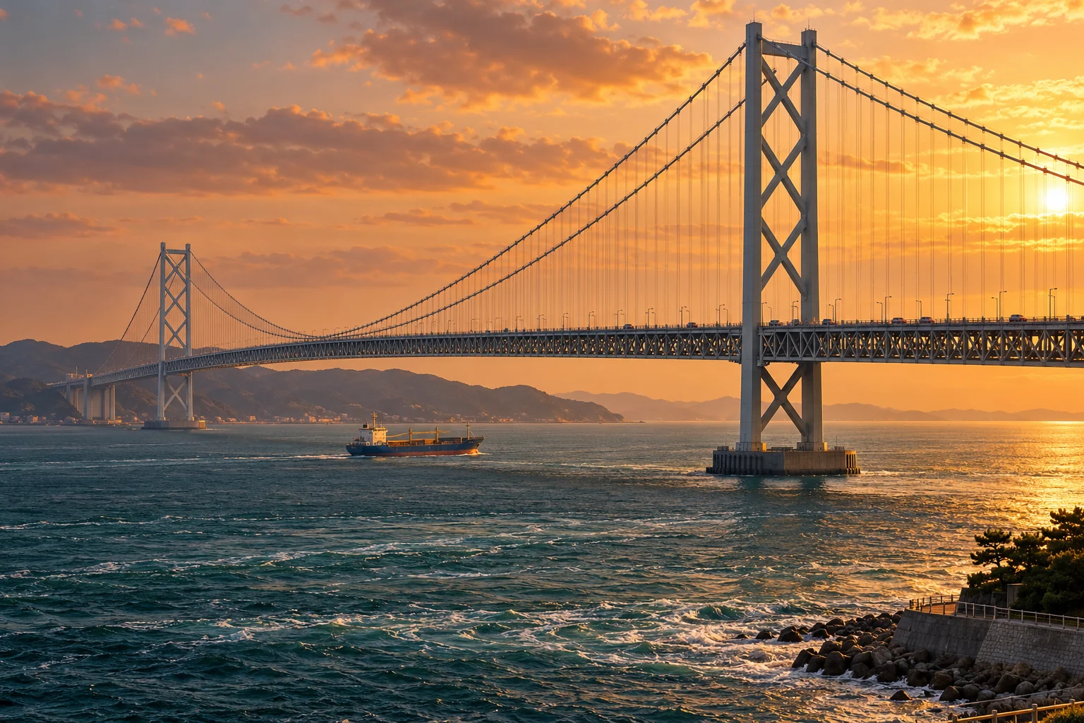
A new crossing between Kobe and Awaji
The Akashi Kaikyo Bridge opened to traffic on 5 April 1998, joining the Maiko area of Kobe with Awaji Island. Its operator records a total length of 3,911 metres and a centre span of 1,991 metres. Those are different measurements: the centre span is the distance between the two main towers, while the total includes the side spans. At completion, the unusually long unsupported crossing was the structure's defining engineering achievement. Operator's specifications
How the road is carried
A suspension bridge transfers the road deck's load through hanging members into large cables carried over its towers. The cables and their anchorages make a long gap possible without closely spaced supports across the water. Akashi Kaikyo combines this arrangement with a deep stiffening truss beneath the roadway. The operator identifies it as a three-span suspension bridge and emphasises the demanding site: a deep strait with strong tidal currents, where placing and constructing major foundations required specialised work.
Strength was only part of the problem
Long, flexible bridges must remain stable when moving air acts on the deck, cables and towers. Japan's exposure to typhoons made wind behaviour a central design concern. The bridge authority developed observation methods, vibration countermeasures and large-scale testing facilities rather than relying on static strength calculations alone. Its engineering account describes a wind-tunnel model about forty metres long and verification for winds of eighty metres per second. Design programme
A working structure and an engineering landmark
The bridge is both a route used by road traffic and a large experiment in the practical limits of suspension design. Its significance becomes clearer when the visible shape is connected to the forces it manages: hanging weight, moving traffic, currents around foundations and wind above the sea. Official visitor material also presents the bridge as a place to learn about infrastructure. The illustration evokes the completed crossing, with a ship providing scale, rather than documenting opening-day traffic. Infrastructure tourism account
Sakura — Koto Nation arrangement
Will Roget II / Impact Soundworks
This later virtual-instrument arrangement of the traditional Japanese spring song gives the April bridge opening a Japanese seasonal context. It is a complete short library demonstration, not a performance from the inauguration.
Listen on SoundCloud ↗Follow the evidence.
- Honshu-Shikoku Bridge Expressway — Akashi-Kaikyo Bridge ↗
- Honshu-Shikoku Bridge Expressway — Survey and design ↗
- Japan Ministry of Land, Infrastructure, Transport and Tourism — Akashi Kaikyo ↗
AI-assisted writing, with institutional and primary sources. Illustration is a reconstruction, not an archival photograph. Published October 31, 2026; updated October 31, 2026. Our approach